

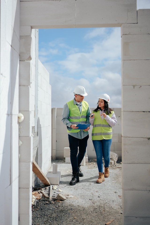
The success or failure of a property development often rests on decisions made in the planning stages. A crucial step in this process that can be easily overlooked is the importance of a contour survey before building takes place. This form of land survey provides detailed information about the slope, elevation, and overall shape of a property, which is essential for various reasons, from design and budgeting to ensuring compliance with regulations.
A contour survey will provide a map of a property in terms of its vertical and horizontal dimensions. The surveyor will document the way the ground rises and falls across the site and represents this topographical information on contour lines on a site plan. These contour lines connect points of equal elevation above an established datum point and can be used to identify the topography of the land.
The primary benefit of a contour survey is that it can inform the design and planning process by highlighting potential challenges and considerations. The natural slope of a property may have implications for construction, from the need for excavation, retaining walls, or other grading measures to specific drainage considerations. Without an accurate understanding of the land’s shape, developers can encounter unforeseen costs and time delays during the construction phase. It can also inform the ideal location and orientation for a building on the site. Site topography can have implications for both the structural integrity and energy efficiency of a proposed structure.
A detailed site survey is also useful for planning drainage. Water flows from high to low points and will take the path of least resistance. This can be a particular problem when water is channelled into stormwater management systems. Poor drainage can lead to erosion, flooding, or structural damage to both the property and its surroundings. In some cases, planning authorities may need evidence that a proposed development will not increase flood risk on a site before granting approval. A professional contour survey is one of the ways that a development can demonstrate its due diligence on this issue.
For larger scale property developments, a site survey can also inform the planning of infrastructure such as access roads, driveways, and utilities. In this case, a topographical survey can indicate the most logical way to link different areas of the property without requiring extensive land modifications. By incorporating this data into early planning stages, developers can reduce the complexity of construction and build in a more environmentally friendly way.
Architects can also use a contour survey as a basis for building design. For example, if an elevated area offers desirable views or sunlight, a building or home extension could be planned to maximise this feature. Alternatively, lower-lying areas could be designated for gardens, recreational areas, or even water features. A contour survey can also inform potential design challenges that a building may face on a site, from specific foundation requirements to the need for landscaping to disguise excessive grading.
Finally, for the developer or homeowner hoping to build on a site, a contour survey is often a requirement for planning permission or building permits. Most councils and planning authorities require some form of topographical data in a planning application before approving construction. In this case, an accurate and professionally prepared contour survey can prevent unnecessary delays or rejections of an application.
Surveyors in Brisbane now have access to a range of technologies that help to ensure the accuracy of a contour survey. This includes GPS, drones, laser scanning, and other surveying techniques and equipment. Digital survey data can also be used to generate a 3D model of a site, which is helpful for visualising a potential development and allows all stakeholders to discuss the project in the same detail before the first foundation is poured. It is easier for issues to be identified, design alternatives to be considered, and effective coordination between different groups.
The consequences of not conducting a contour survey before building on a site are potentially significant for the developer. In addition to unforeseen costs and delays during the construction phase, there may be planning or legal issues to consider if a development does not account for the natural slope of a site. For example, insufficient drainage could impact on neighbouring properties if land runoff is not correctly managed. Developers looking to avoid these problems can be advised that a detailed contour survey offers good value for money.
The survey will provide a clear and accurate picture of the land before development begins. This information can be used for all of the reasons discussed in this article, from design and planning to costings and permit applications. By providing a detailed understanding of a site, a survey will also help to inform decisions about what works on the land, the ideal building location and design, and any infrastructure planning. Avoiding expensive re-designs, construction delays, or legal issues will be far easier if these decisions are made on the basis of accurate and professionally prepared data about the shape of the property.
Tina Johnson helped bring The Marketing Folks from a-weekly newsletter to a full-fledged news site by creating a new website and branding. She continues to assist in keeping the site responsive and well organized for the readers. As a contributor to The Marketing Folks, Tara mainly covers industry new.